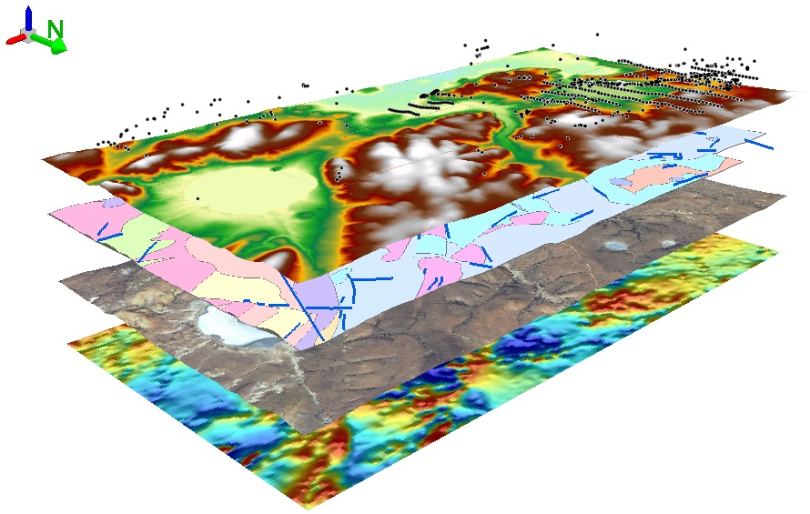
Our software developers and GIS professionals understand the importance of developing and maintaining the proper data management framework. Our GIS team will analyze, input and validate all field data to ensure workflow requirements are met to maintain asset database integrity and accuracy in Satellite imageries, Aerial photographs or Data collected through advance field survey equipment & Mapping GIS to support the geospatial needs of public &private-sector.S


Carrying out topographical survey and preparation of plans (maps) and report of the entire area/areas indicated for locating the power plant and its other systems.
Carrying out bench mark (GTS / any other reference bench mark approved by the engineer-in-charge) to site/sites under survey by parallel leveling.
Spot level survey of the entire area/areas at specified intervals and development of contours. Forestry Management (GIS, FCA, DGPS SURVEY)
Ready to get started? Let’s talk.
To follow no one. To lead through innovation, loyalty and a devotion to the success of our customers in all we do.
COPYRIGHT © 2007- 2020 , Vikas Kumar | EHT & Land Surveyor | All Rights Reserved